

Blizzard conditions, ferocious windstorm blast Plains Saturday
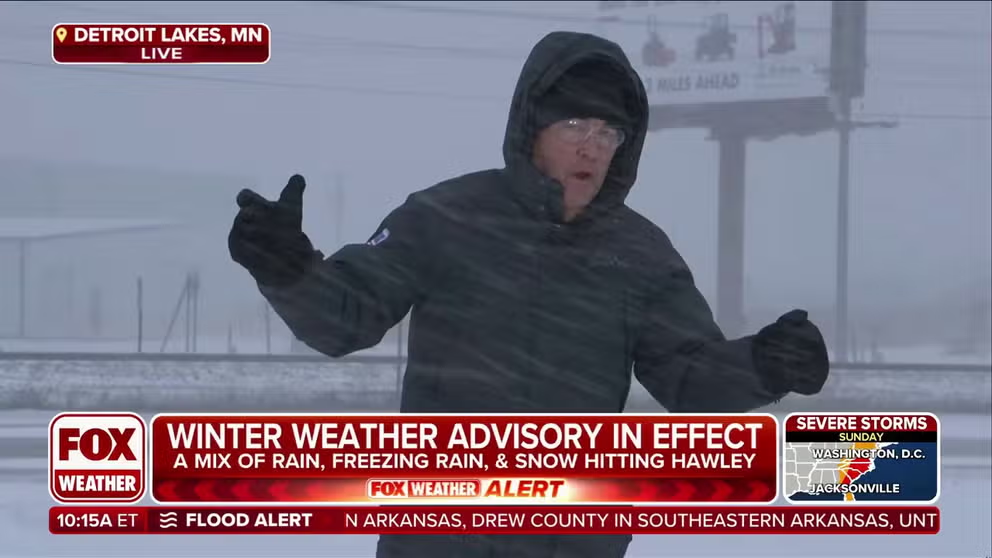
Residents across the northern Plains and parts of the Midwest are facing a powerful winter storm that is unleashing strong winds, blowing snow and plummeting temperatures, potentially creating blizzard conditions and hazardous travel. FOX Weather Storm Specialist Mike Seidel is live in Detroit Lakes, Minnesota, with the latest.
Fast Facts:
- A dangerous blizzard, fueled by a near-record strong low-pressure system, will begin Friday night.
- Whiteout conditions will make travel on I-94 and I-29 extremely hazardous in the Red River Valley.
- A powerful low will generate an expansive wind field with damaging gusts potentially exceeding 70 mph, accompanied by a narrow band of snow and wintry mix.
Residents across the northern Plains and parts of the Midwest are facing a powerful winter storm that is unleashing strong winds, blowing snow and plummeting temperatures, potentially creating blizzard conditions and hazardous travel.
This strengthening storm poses a multiday severe weather threat for the central and eastern U.S. Simultaneously, it is generating urgent winter weather warnings for the Upper Midwest and High Plains and escalating fire danger alerts in the Southwest.

(FOX Weather)
Similar to last week, this system could challenge low-pressure records for parts of the Plains, plunging from the mid-990s millibars to the lower to mid-970s millibars in a short time, the FOX Forecast Center said. If the storm undergoes this rapid intensification, it will generate massive winds across much of the central U.S.
DOWNLOAD THE FREE FOX WEATHER APP

(FOX Weather)
DANGEROUS SEVERE WEATHER OUTBREAK COULD UNLEASH HURRICANE-FORCE WIND GUSTS, STRONG TORNADOES
Blizzard conditions likely as wind gusts could reach 60-75 mph
The FOX Forecast Center said the weather hazard with the biggest footprint of impacts will be the wind field. Through Saturday afternoon, wind gusts exceeding 50 mph are forecast from the Rockies and Great Plains to as far east as the western Great Lakes.
Combined with the strong wind gusts associated with the storm, there is the potential for blizzard conditions across the Red River Valley in the Dakotas and western Michigan.
HERE’S WHY ‘BLIZZARD ALLEY’ IS IN THE NORTHERN PLAINS
The FOX Forecast Center said there remains uncertainty about how long the transition from rain to snow will take to occur, but it will occur. Once the changeover is complete, the snow will likely come down heavily at times, as much as 1-2 inches an hour.
At the same time, the very strong winds will help to fracture snowflakes, leading to powdery snow that will blow around considerably. Additionally, even with snow coming down heavily, it may struggle to accumulate for the first hour or so as the ground remains very warm from the record warmth the past few days, the FOX Forecast Center notes.

(FOX Weather)
So, while total snowfall may be somewhat modest except beneath the pivot point of this band of snow, impacts will be substantial with near-blizzard conditions possible from far northeast Nebraska through northern Minnesota.

(FOX Weather)
Source link
editor's pick
latest video
Sports News To You
Subscribe to receive daily sports scores, hot takes, and breaking news!


